

As the U.S. heads into the long holiday weekend with all eyes on Elsa there is an element of heading ”into the unknown”. The puns are endless, but this is summer, so this will be my only Frozen pun of this tropical update. This BMS Insight will focus on what data the insurance industry can use to limit the unknowns for any future impacts of Elsa.
Elsa has strengthened overnight and is now the first hurricane of the 2021 Atlantic Hurricane season. The 1991-2020 average date for the first Atlantic hurricane formation is 14 August. A hurricane watch has been issued for the Dominican Republic and Haiti. This is a sign that the National Hurricane Center thinks it can at least maintain hurricane conditions over the next few days as Elsa’s forecast tracks in that direction.
This morning Elsa is impacting Barbados and will impact the other Windward Islands and the Leeward Islands later today. These observations from the islands and the observation from a hurricane reconnaissance plane that will be sampling the overall structure of Elsa will provide valuable input into the various forecast models, which at the moment offer a lot of unknowns on the future track and intensity of Elsa. To illustrate the forecast unknowns below is a look at the ECMWF ensemble and the GFS ensemble product. These two forecasts show collectively 72 different track and intensity forecasts out to 120 hours or Tuesday night, July 7th, represent the spread in what Elsa might due in the future. Many weaker forecast tracks, indicated by the blue lines, track Elsa closer to Hispaniola and result in a weaker storm. This is likely because Elsa would weaken due to the higher topographical features of these larger islands. The stronger forecasts (green, yellow, and orange) have a further west track towards Jamaica and keep Elsa over the ocean water and away from high topographic impacts allowing her to maintain strength. Overall, you will notice the GFS model is much stronger with Elsa than the ECMWF model.

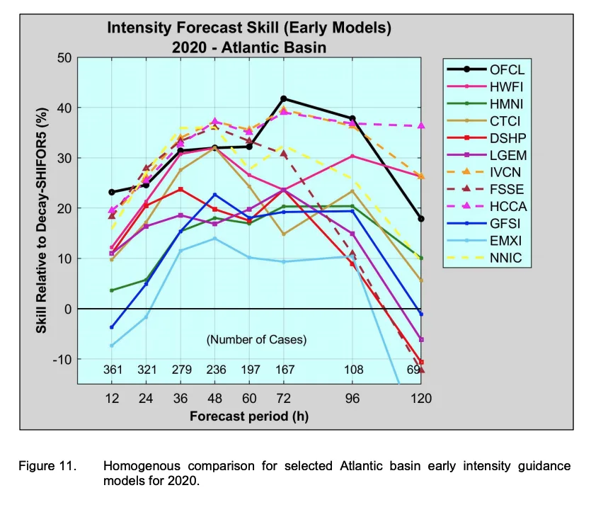
Provided Elsa is the first decent long-lasting tropical storm of the 2021 Atlantic Hurricane season, there is not a track record from this year of what model might be the better forecast model to use. Luckily (or unluckily) we had a very busy 2020 hurricane season with over 597 official forecasts issued by the National Hurricane Center (NHC). This provides some solid verification on what forecasts might be the best forecast for the 2021 season. In the NHC verification report, the best performing deterministic forecast across all storms between the forecast hours of 36 – 72 was the GFS model. The ECMWF was in third place. In the 120 hour forecast time frame, the ECMWF edged out the GFS model, with overall the consensus and statistical models outperforming many of the deterministic models. For intensity forecasts the HWRF, COAMPS forecast had the best for forecast hours 36 – 60, while the GFS did better than the ECWMF for intensity.
So what is the take way to limit the forecast unknowns with Elsa? The GFS forecast seemed to do better overall last year, but with the caveat that all this verification is based on mean stats. Individual tropical storms perform differently depending on what is going on in the atmosphere at any given time. Also, forecast models can be tweaked in the off-season by various agencies that develop these models in the hope to improve the forecast. Sometimes these tweaks can result in worse forecasts. Overall, the mean stats of these models are close together and frankly, the NHC OFCL forecast is still a hard forecast to improve upon and ranks high for both forecast track and intensity. A few of the better free places to get forecast track and intensity guidance is from TropicalTidbits.com or WeatherNerds.com. But if you just want the basics, it is best to follow the NHC forecast guidance.
Other tools BMS clients can use to limit the unknown in the forecast are the hurricane products that are built within the BMS iVision geospatial platform from the Verisk Respond product suite. These hurricane forecasts are updated four times a day and offer views of a maximum 1 minute sustained winds speed (mph) and the maximum 3-second gust (mph) swaths. This allows clients to get detailed ideas of the overall wind field of the storm over the forecast period. Now, this is only one deterministic forecast, but, since it is updated four times a day, clients can start to build a consensus of what to expect as the forecast changes and the storm evolves.

Currently, the Verisk Respond forecast shows that Elsa will continue to provide hurricane-force winds as it tracks between Hispaniola and Jamaica later this weekend. The forecast currently suggests that Elsa will track off the west coast of Florida later next week as a weak tropical storm, but as with any forecast model, there is still a lot of unknowns in the longer-range forecast.
As the long July 4th, holiday weekend starts there are several unknowns around the future intensity and track of Elsa. Based on last year's forecast guidance the GFS had the upper hand, but the ECMWF has also done very well in the past. For example, in 2012 the ECMWF was one of the only forecast models to suggest a New Jersey landfall for Hurricane Sandy. What we do know is that Elsa continues to move very fast, which goes against the research that suggests that named storms are slowing down and the sea's surface temperatures along Elsa track are not enormously warm. But we know the cold never bothered Elsa away. (Sorry) So it looks like Elsa will maintain at least a weak hurricane as it heads towards Cuba. After Cuba Elsa will turn north, but it is too early to provide a clear picture of what that looks like at this time given the forecast track unknowns and how that will also play into the future intensity of Elsa and the impacts on the U.S. insurance industry.


